
Our proposals
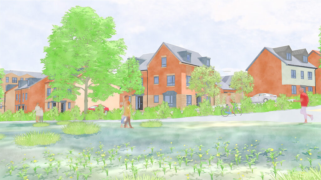
A sustainable new neighbourhood
To help fund significant investment in Oaklands College, a parcel of land to the north-west of the site has been released for residential development. Taylor Wimpey will deliver a high-quality, sustainable new neighbourhood, known as Oaklands Blossom, that responds directly to local housing need and community priorities.
Our proposals
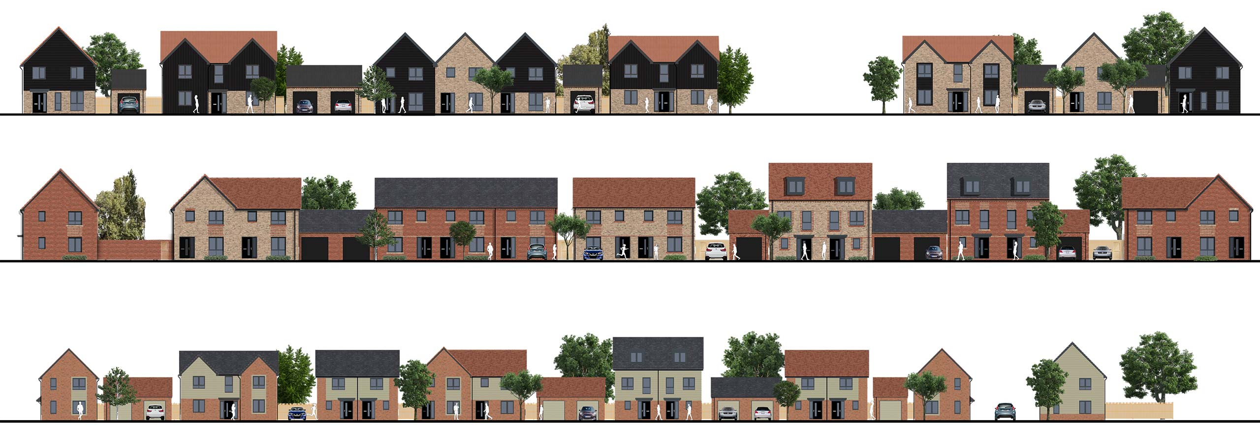
New homes
- Around 472 new homes, delivering a high quality, sustainable new community
- A range of sizes and types, including 1 to 5-bed houses and flats
- 189 affordable homes across tenures including:
- Social rent
- Affordable rent
- Shared ownership
- First Homes
- 14 self-build and custom-build plots, supporting local demand for bespoke housing

Our proposals
Extra care housing
- Up to 80 new units of extra-care accommodation for older persons
- Includes shared communal facilities such as a restaurant and lounge
- 28 (40%) “residential units” will be affordable
- Outline permission will be sought, with delivery by a specialist operator

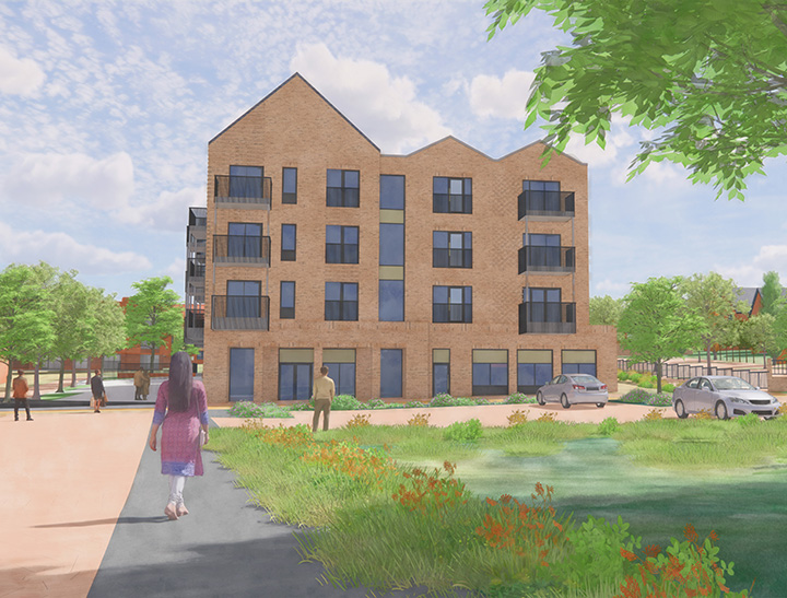
Our proposals
A new local centre
To serve the new and existing community, a local centre will be delivered in the detailed phase, including:
- Up to 530sqm of retail floorspace for local shops and services
- Approximately 100sqm of community floorspace, to be managed by Sandridge Parish Council
Our proposals
A new primary school
Land will be safeguarded for a future school, to be delivered by Hertfordshire County Council, with financial contributions from Taylor Wimpey.

Our proposals
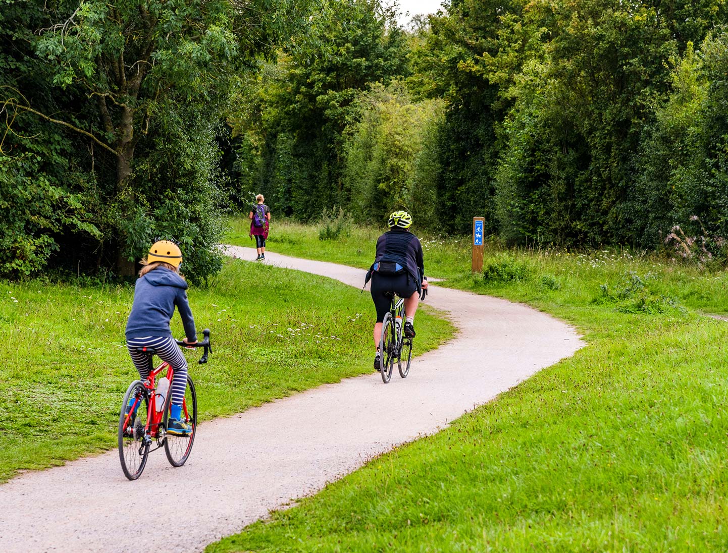
Public realm and green infrastructure
The Oaklands Blossom development is designed with strong landscape principles and community access in mind:
- New green spaces and play areas, designed for all ages
- Active Travel Routes throughout the site and connecting into the Oaklands College campus
- Integration with the wider walking, cycling and bridleway network
- 10% biodiversity net gain, including habitat creation, new planting, and ecological enhancements
Our proposals
Access, parking and movement
A comprehensive package of transport and access improvements will support the new development:
- Appropriate levels of car parking coupled with cycle parking to promote use of sustainable modes of transport
- Upgraded bus stops, and an enhanced bus service, subject to agreement with Hertfordshire County Council
- Improved road access from Sandpit Lane and Oaklands Lane
- Enhanced bridleways, public rights of way, cycle and pedestrian routes and permissive routes, connecting into the local and regional network
- Improvements to the highways in the local area outside of the site, such as a crossing on Sandpit Lane, to improve connectivity and safety